Additional datasets
Most mandatory metadata are provided by the network providers, but consistent climate, land cover, and soil characteristics data are provided by external databases.
Harmonized World Soil Database (HWSD):
Soil information is retrieved from the Harmonized World Soil Database (HWSD) with 30" resolution (version v1.1).
CCI Landcover Classes:
Land cover is obtained from ESA`s Climate Change Initiative (CCI) land cover with 300-meter resolution (versions: 2000-v1.6.1, 2005-v1.6.1, 2010-v1.6.1).
To use ESA CCI land cover variables for filtering the data in the get_dataset_ids function, set the keyword parameters (landcover_2000, landcover_2005 or landcover_2010) to the corresponding integer values (e.g. 10).
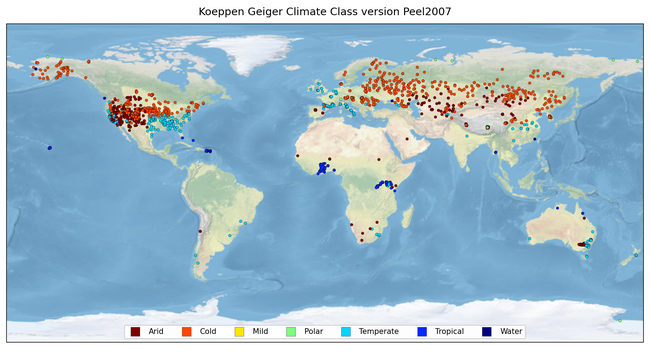
Köppen - Geiger Climate Classes:
Climate classification comes from the Köppen-Geiger database (Peel2007 and Rubel2017) with a resolution of 0.1° and 0.08° respectively.
To use the Köppen-Geiger variable for filtering the data in the get_dataset_ids function, set the keyword parameter “climate” to the corresponding keys (e.g. ‘Af’). For more information visit ISMN Reader.
Soil - and landcover info from providers (individual available - not for all networks):
If available, data providers can optionally share their own characterizations of land cover, soil, and flags with the ISMN. The reason to store them in addition to, and not instead of the same variables listed as mandatory, is to keep consistency between networks.